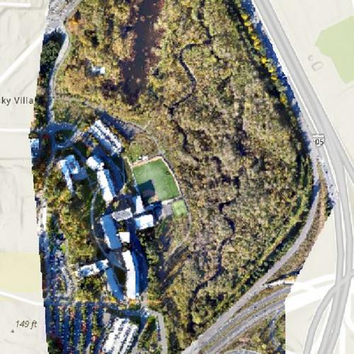
Drone Aerial Views and Products
Title
Drone Aerial Views and Products
Subject
Drone Mapping Project
Description
Drone captures of UWB campus with additional elevation layers.
Creator
Noah Bomar
Date
6 June 2022
Collection Items
UWB RGB (true color) Composite
Overhead drone capture of UWB campus. Zoom in on the web map to see finer details in high resolution.
UWB Elevation Data
An elevation map derived from the overhead drone capture of UWB campus in Autumn 2019. View the full web map here.
UWB Hillshade Data
An HSL elevation map derived from the overhead drone capture of UWB campus in Autumn 2019. View the full web map here.
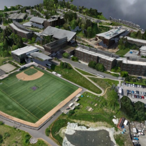
3D campus image. May 2023
3d model of UWB Campus obtained with an UAS Mavic 3m. Zoom in to the Web Map for more details.
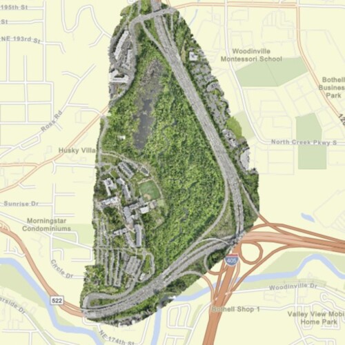
High Resolution Orthomosaic - RGB - True Color. May 2023
Orthomosaic with 667 images. Horizontal accuracy 0.2 m. See Web Map for finer resolution and more details.
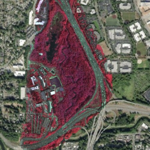
Multispectral Image of UWB campus. May 2023
Multispectral Orthomosaic (NIR, R, G) with 667 images. Horizontal accuracy 0.2 m. See Web Map for finer resolution and more details.
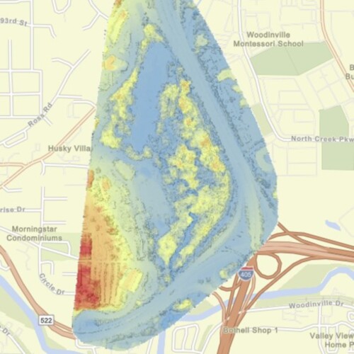
Digital terrain and surface models of UWB campus. May 2023
Orthomosaic with 667 multispectral images. Horizontal accuracy 0.2 m. See Web Map for finer resolution and more details. Processing software WebODM
High Resolution Orthomosaic - RGB - True Color. Sep 2019
Created by Santiago Lopez using a DJI Phantom 4 drone. A high resolution image can be viewed on this Web Map


