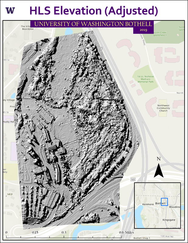
UWB Hillshade Data
Title
UWB Hillshade Data
Description
An HSL elevation map derived from the overhead drone capture of UWB campus in Autumn 2019. View the full web map here.
Creator
Data creator: Santiago Lopez
Layout creator: Noah Bomar
Layout creator: Noah Bomar
Date
6 June 2022
Original Format
ArcGIS Layout
Physical Dimensions
2550 x 3300
Collection
Citation
Data creator: Santiago Lopez
Layout creator: Noah Bomar, “UWB Hillshade Data,” UW Bothell GeoHub, accessed July 6, 2024, https://uwb.ds.lib.uw.edu/geoexhibit/items/show/87.
